

The Authority in Global Agricultural Chemistry & Bio-Resources
How marine radar systems cut collision risk in rough seas
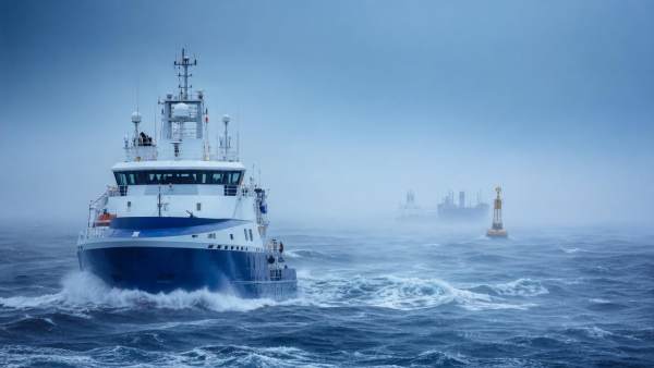
When visibility drops and waves rise, marine radar systems become one of the most dependable tools on board. They help crews track moving targets, detect fixed hazards, and react before a dangerous close-quarters situation develops. In rough seas, where visual cues are unstable and timing matters, radar supports safer decisions and lowers collision risk through earlier warning and stronger situational awareness.
Why rough-sea navigation needs a checklist approach
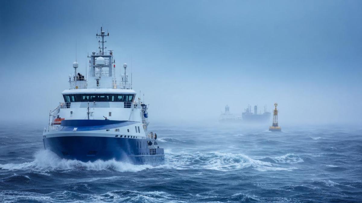
Heavy rain, wave clutter, pitch, roll, and intermittent visibility can quickly distort perception. Even experienced operators may miss small vessels, buoys, or course changes when the bridge workload rises.
A checklist reduces that risk. It turns marine radar systems from passive screens into active safety tools by standardizing setup, interpretation, and response during demanding offshore operations.
This approach also fits broader industrial marine operations. Fishing fleets, aquaculture support vessels, offshore service craft, and coastal workboats all benefit from repeatable radar procedures when weather conditions deteriorate.
Core checklist: how marine radar systems reduce collision risk
Use the following checklist before and during rough-sea transit. Each step improves target detection, interpretation, and response speed when collision threats emerge.
- Verify power stability and scanner performance before departure, because voltage irregularities, antenna faults, or water ingress can reduce detection reliability when radar information matters most.
- Set range scales dynamically, starting wide for traffic awareness and narrowing for close-quarters control, so the display reflects both strategic movement and immediate collision hazards.
- Tune gain carefully to reveal weak echoes without flooding the screen, especially when rain bands, sea return, and wave action compete with small target signatures.
- Adjust sea clutter and rain clutter controls incrementally, not aggressively, since excessive filtering may erase small craft, markers, or partially masked objects near the vessel.
- Confirm heading alignment and position input accuracy, because incorrect sensor integration can shift target vectors and create misleading readings about relative motion or closest approach.
- Use target tracking functions such as MARPA or ARPA where available, allowing the bridge team to monitor course, speed, CPA, and TCPA more consistently.
- Cross-check radar returns with AIS, charts, and visual observation, since no single source remains perfect in rough seas, congestion, or equipment interference conditions.
- Monitor blind sectors caused by superstructure, cargo, or sea state, and compensate through scanning routines that prevent unnoticed approach from partially obscured angles.
- Reassess target behavior every few minutes, because course alterations by nearby vessels may occur faster in poor weather when navigators seek shelter or safer headings.
- Trigger early avoidance action once radar trends confirm risk, as delayed maneuvering in rough water often increases roll, slows response, and narrows safe passing options.
How marine radar systems improve safety in different operating scenarios
Offshore transit in reduced visibility
During fog, spray, or night passage, marine radar systems provide a structured picture of nearby traffic beyond what the eye can confirm. This is especially valuable when visual references disappear between wave crests.
A properly tuned radar display helps separate genuine contacts from clutter. That allows safer speed management, earlier course review, and better spacing from crossing or overtaking vessels.
Coastal approaches and port entry in bad weather
Near shore, traffic density rises while fixed hazards become more frequent. Breakwaters, channel markers, anchored vessels, and shallow-water boundaries demand precise interpretation under pressure.
Here, marine radar systems support lane awareness and help verify alignment with navigational features. They also improve reaction time when another vessel makes a late turn or drifts off track.
Aquaculture, fishery, and service vessel operations
Support craft working around cages, buoys, nets, and floating equipment face a mixed environment of fixed and moving obstacles. Rough conditions can make these structures hard to identify visually.
In these settings, marine radar systems help maintain safe stand-off distance and support controlled maneuvering around assets, workboats, and transfer routes without relying only on line-of-sight judgment.
Open-water traffic separation and crossing situations
In offshore corridors, collision risk often comes from misreading another vessel’s relative movement. Rough seas make that harder by introducing motion and distraction on the bridge.
Radar plotting, vector trails, and CPA alerts reveal whether a contact is opening, steady, or converging. That information supports earlier, more decisive action before margins become unsafe.
Commonly overlooked issues that weaken radar performance
Over-filtering clutter
Many operators push sea or rain suppression too far. The screen looks cleaner, but weak echoes from small boats, debris, or buoys may disappear at exactly the wrong time.
Treating AIS as a substitute for radar
AIS is helpful, but not every target transmits correctly. Some small craft, floating objects, and poorly configured vessels remain invisible to AIS while still appearing on radar.
Ignoring sensor alignment drift
If heading, GPS, or antenna alignment drifts, tracked vectors can become unreliable. That error may remain unnoticed until a close approach exposes a mismatch between display and reality.
Using one fixed range setting too long
A single range scale rarely works in rough weather. Wide settings can hide close threats, while narrow settings can obscure developing traffic patterns farther ahead.
Delaying action after risk appears
The best marine radar systems still depend on timely decisions. Waiting for visual confirmation in poor visibility can waste critical minutes and sharply reduce maneuvering room.
Practical execution steps for safer radar use
- Create a pre-departure radar check covering power, display, heading input, antenna rotation, alarm settings, and backup procedures.
- Establish watch routines that require periodic range changes, clutter review, target verification, and cross-checking against AIS and charts.
- Train crews to interpret raw echoes, not just automatic tracking outputs, because automation can mis-handle dense traffic or unstable sea returns.
- Define CPA and TCPA action thresholds suited to vessel type, speed, sea state, and maneuvering limits rather than relying on generic defaults.
- Review near-miss events using saved radar tracks when available, then refine settings and response procedures for future heavy-weather navigation.
For organizations operating across fisheries, coastal logistics, offshore support, or marine infrastructure, these steps create a repeatable safety baseline. They also strengthen operational resilience where weather and traffic risks intersect.
Conclusion and next action
Marine radar systems cut collision risk in rough seas by extending awareness beyond human sight, clarifying target movement, and supporting earlier decisions. Their value increases when setup, monitoring, and response follow a disciplined checklist.
The most effective next step is to audit current radar practices during bad-weather operations. Check tuning habits, sensor integration, alarm thresholds, and bridge response timing, then update procedures before the next rough-sea transit.
Related Intelligence
- Commercial FishingWhat Should You Check in a Fishery Equipment Maintenance Contract?What should I look for in a fishery equipment maintenance contract? Explore coverage, response times, costs, records, safety, and biosecurity essentials.
- Commercial FishingDo commercial fishing vessels with hybrid diesel-electric propulsion reduce fuel cost per kg landed by more than 12%?Commercial fishing vessels with hybrid diesel-electric propulsion *can* cut fuel cost per kg landed by >12%—but only under precise operational and infrastructure conditions. Discover the real ROI.
- Commercial FishingHow to Choose Oyster Processing Equipment for Capacity, Hygiene, and Labor EfficiencyOyster processing equipment guide: compare capacity, hygienic design, and labor efficiency to build a reliable, scalable line and make smarter buying decisions.
The Morning Broadsheet
Daily chemical briefings, market shifts, and peer-reviewed summaries delivered to your terminal.