

The Authority in Global Agricultural Chemistry & Bio-Resources
When does a marine satellite compass outperform GPS?
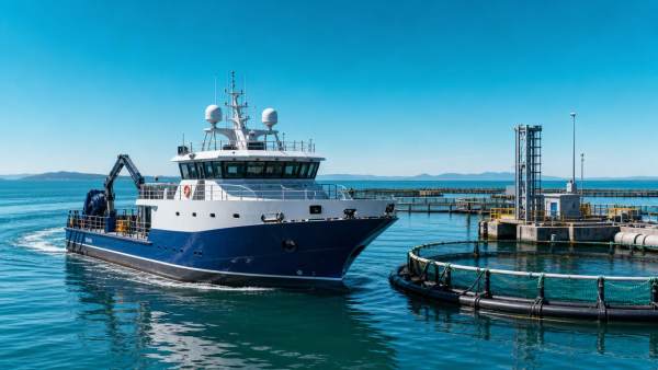
When does a marine satellite compass outperform GPS in real-world navigation and vessel control? For technical evaluators, the answer lies in heading stability, signal resilience, and operational precision under dynamic marine conditions. Understanding where a marine satellite compass delivers superior performance helps procurement and engineering teams make more reliable decisions for safety-critical and accuracy-driven applications.
Why technical evaluators compare a marine satellite compass with standard GPS outputs
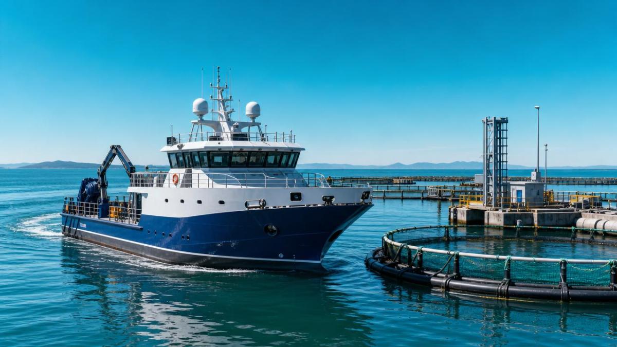
In many marine projects, the confusion starts with terminology. GPS is often treated as a complete navigation answer, yet standard GPS position data does not always provide the heading quality needed for vessel control, sensor alignment, and automated operations.
A marine satellite compass is designed to calculate true heading by using multiple GNSS antennas and carrier-phase processing. That distinction matters when a vessel must maintain directional accuracy at low speed, during drift, or while supporting equipment that depends on stable orientation data.
For technical assessment teams in aquaculture, fishery technology, offshore service support, and industrial marine logistics, the purchasing decision is rarely about position alone. It is about how heading data behaves when wind, current, vibration, and intermittent signal obstruction stress the system.
- Standard GPS typically prioritizes position, speed over ground, and track over ground, which can differ from true vessel heading, especially during turning, drifting, or near-stationary operation.
- A marine satellite compass can deliver immediate heading without depending on vessel movement, making it useful for autopilots, dynamic positioning support, radar overlay, and sonar alignment.
- In regulated procurement environments, evaluators also need predictable integration with bridge systems, survey tools, and control software rather than a basic navigation feed.
When does a marine satellite compass outperform GPS in actual marine operations?
The strongest performance advantage appears when heading integrity matters more than simple route display. This is common on workboats, aquaculture support vessels, feed barges, fish-farm service craft, dredging platforms, and inspection vessels carrying multiple electronic subsystems.
Technical evaluators should look beyond marketing language and map performance to operating modes. The marine satellite compass often outperforms GPS when the vessel is not moving fast enough for course-over-ground to represent true orientation or when rapid attitude changes affect control decisions.
The following comparison highlights where the marine satellite compass creates measurable operational value for marine technology buyers and engineering teams.
The key takeaway is practical: GPS remains essential for positioning, but a marine satellite compass becomes the better tool when heading is a control input, a mapping reference, or a safety-critical data stream.
Typical high-value scenarios
- Aquaculture support vessels holding orientation beside cages during feeding, net inspection, or environmental sampling.
- Fishery research boats requiring consistent heading for sonar sweeps and data repeatability.
- Utility and service craft operating in narrow channels where rapid heading feedback improves maneuver confidence.
- Industrial marine platforms integrating radar, AIS, charting, and machine controls into one operator environment.
Which technical parameters matter most during evaluation?
A marine satellite compass should not be assessed as a generic black box. Technical evaluators need to review how the device performs under motion, interference, installation constraints, and system-integration demands. Procurement errors often happen when teams buy on headline accuracy alone.
The table below organizes the most relevant evaluation parameters for marine satellite compass selection in commercial and industrial vessel environments.
A thorough specification review should also include startup behavior, loss-of-signal recovery, supported protocols such as NMEA messaging, and mounting geometry. These details often determine whether the marine satellite compass will integrate cleanly with existing vessel electronics.
Common evaluation mistakes
- Assuming track-over-ground and true heading are interchangeable in low-speed operations.
- Ignoring antenna placement constraints until late in the retrofit process.
- Focusing on nominal accuracy while overlooking update latency and recovery behavior.
- Treating bridge integration as a software issue only, without validating electrical and interface compatibility.
How should procurement teams choose between GPS-only, magnetic heading, and a marine satellite compass?
Selection should start with the operational task, not the sensor category. A simple vessel that only needs position display and basic route awareness may not require a marine satellite compass. But if the vessel supports precision work, automation, or instrumentation, heading quality quickly becomes a procurement priority.
For technical evaluators, this is less about replacing GPS and more about defining the right navigation stack. In many applications, the best result combines standard GNSS positioning with a marine satellite compass for heading and, where necessary, an inertial component for motion smoothing.
This decision matrix can help cross-functional teams align engineering needs with budget and delivery constraints.
The right choice depends on vessel duty cycle, required control precision, and retrofit constraints. A marine satellite compass earns its cost when poor heading data would create operational inefficiency, safety exposure, or unreliable equipment output.
A practical procurement checklist
- Define whether the application needs true heading at zero or very low speed.
- List every downstream system using heading data, including radar, autopilot, sonar, and monitoring platforms.
- Check antenna mounting space, sky visibility, and separation requirements before issuing an RFQ.
- Request interface documentation, supported sentence formats, and commissioning procedures from vendors.
- Compare lifecycle support, not just hardware cost, especially for fleets operating in remote coastal regions.
What standards, integration, and risk issues should be reviewed?
Marine electronics procurement often fails at the interface between specification and implementation. Even when a marine satellite compass is technically suitable, installation quality, environmental resilience, and compliance documentation can decide whether the project delivers value on schedule.
For commercial operators in regulated primary industries, especially aquaculture and marine processing support, evaluators should verify documentation that supports marine use, electrical compatibility, and environmental durability. Exact requirements vary by vessel class and operating region, so the review must be project-specific.
Key areas to review
- Interface compatibility with onboard systems, including expected output formats and baud or network settings.
- Electrical installation guidance, grounding strategy, and susceptibility to onboard interference from drives, pumps, or communication equipment.
- Environmental suitability for spray, washdown, vibration, and temperature swings typical of exposed deck installations.
- Documentation quality, including manuals, commissioning steps, maintenance instructions, and troubleshooting procedures.
- Supply continuity for replacement units, antennas, cables, and technical support over the expected service period.
This is where AgriChem Chronicle adds value for technical evaluators and procurement stakeholders. ACC’s editorial focus on aquaculture, machinery, processing systems, and compliance-heavy industrial supply chains supports a more disciplined review of vendor claims, integration risks, and lifecycle considerations.
Rather than treating marine instrumentation as an isolated buying decision, ACC frames it within the wider purchasing reality faced by industrial operators: technical due diligence, documentation integrity, and confidence that the selected system fits the operating environment and business risk profile.
FAQ: what do buyers still get wrong about a marine satellite compass?
Is a marine satellite compass just a more expensive GPS?
No. GPS position data and a marine satellite compass solve different problems. GPS tells you where the vessel is. A marine satellite compass tells you which way the vessel is pointing, with better reliability than course-over-ground when speed is low or movement is irregular.
Does every vessel need a marine satellite compass?
Not every vessel does. The value increases when heading drives control decisions, sensor alignment, or close-quarters maneuvering. Technical evaluators should justify the investment by linking heading quality to an operational requirement, not by assuming all navigation systems need the same architecture.
What is the biggest retrofit risk?
Antenna installation is often the biggest issue. Limited sky view, poor separation, cable-routing constraints, and electromagnetic noise can reduce performance. This is why early vessel survey work matters as much as the device specification itself.
Can a marine satellite compass help aquaculture and fishery operations specifically?
Yes, especially where vessels work slowly around pens, nets, feeding systems, and monitoring equipment. In these environments, stable heading supports safer approach control, cleaner data collection, and more consistent operation of integrated electronics.
Why choose us for technical evaluation support and market intelligence?
AgriChem Chronicle is positioned for buyers who cannot rely on generic product summaries. Our readership and editorial model are built around technically complex, compliance-sensitive sectors where procurement decisions affect operational continuity, audit readiness, and long-term asset performance.
If your team is assessing a marine satellite compass for aquaculture support craft, fishery technology platforms, agricultural port logistics, or other primary-industry marine operations, ACC can help you narrow the decision with industry-grounded analysis rather than broad marketing claims.
- Request support for parameter confirmation, including heading accuracy, output rate, interface needs, and environmental fit.
- Discuss product selection logic for low-speed maneuvering, sensor integration, and bridge-system compatibility.
- Review delivery-cycle considerations, retrofit planning, and documentation expectations before issuing procurement documents.
- Clarify certification and compliance questions relevant to your region, vessel type, and operational environment.
- Open a quotation discussion with better-defined technical requirements, reducing rework and vendor mismatch.
For technical evaluators, the real question is not whether GPS is useful. It is whether GPS alone provides the heading confidence your operation demands. When heading stability, low-speed precision, and integrated control matter, a marine satellite compass often becomes the more appropriate choice. ACC helps decision-makers turn that conclusion into a defensible procurement strategy.
Related Intelligence
- Commercial FishingWhat Should You Check in a Fishery Equipment Maintenance Contract?What should I look for in a fishery equipment maintenance contract? Explore coverage, response times, costs, records, safety, and biosecurity essentials.
- Commercial FishingDo commercial fishing vessels with hybrid diesel-electric propulsion reduce fuel cost per kg landed by more than 12%?Commercial fishing vessels with hybrid diesel-electric propulsion *can* cut fuel cost per kg landed by >12%—but only under precise operational and infrastructure conditions. Discover the real ROI.
- Commercial FishingHow to Choose Oyster Processing Equipment for Capacity, Hygiene, and Labor EfficiencyOyster processing equipment guide: compare capacity, hygienic design, and labor efficiency to build a reliable, scalable line and make smarter buying decisions.
The Morning Broadsheet
Daily chemical briefings, market shifts, and peer-reviewed summaries delivered to your terminal.